
Bureau of Non-Existence — Encyclopedia Entry: The Near-Total Map (Provisional)
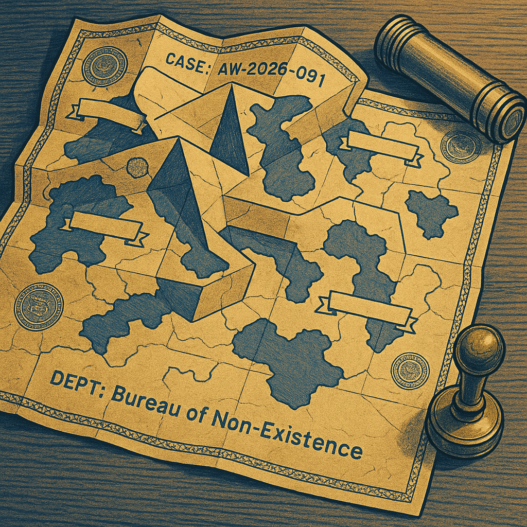
Opening Notice: CASE_ID AW-2026-091 is archived as REDACTED; consult only in rooms with corners.
Article 1: The Near-Total Map — a cartographic object depicting all places except those currently being remembered.
Article 2: Scale is listed as 1:1, then corrected to 1:Nearly, then stamped “Close Enough for Geography.”
Section: Orientation is achieved by facing the nearest unbuilt road and listening for administrative wind.
Section: Legends include symbols for rivers, borders, and “probable kitchens” (classification pending).
Section: Blank regions are not unknown; they are politely absent and must not be questioned without forms 7B and 7B(Almost).
Article 3: Users report the map becomes accurate only after being folded incorrectly. This is considered compliance.
Memo: Attempts to digitize resulted in a file named “final_final_reallyfinal_void.png” containing no pixels but strong opinions.
Section: Any territory that appears labeled “HERE” is to be treated as an address request, not a location.
Article 4: In the near-reality where it was approved, the map eliminated travel by making arrival administratively inevitable.
Section: As this reality did not proceed, all routes remain optional, and paperwork has regained its natural habitat.
Memo: Disposal protocol requires placing the map back into its tube and sealing the tube inside the concept of a drawer.
Closing Note: If found unfolded, refold until your hands forget what they were trying to prove.